
NMC Requests Remote Sensing Centre’s Help for Naag River Data

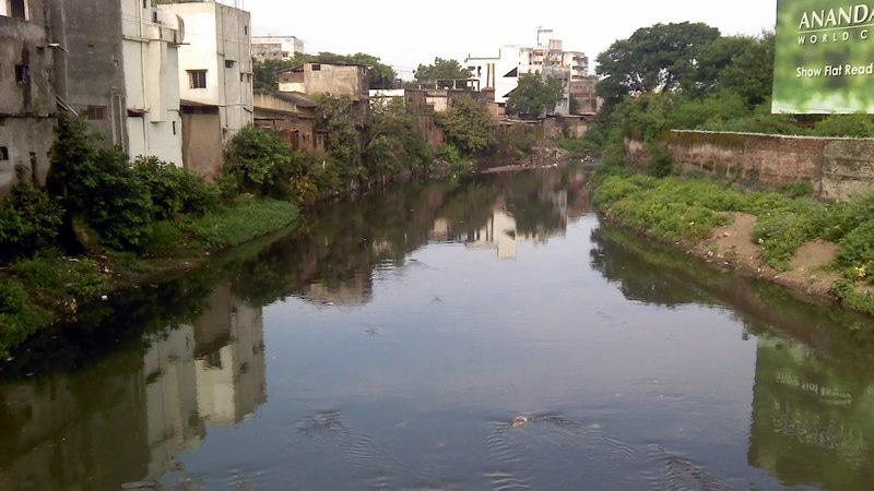
The Nagpur Bench of the Bombay High Court was informed by the Nagpur Municipal Corporation (NMC) that it has requested assistance from the Maharashtra Remote Sensing Applications Centre (MRSAC) for measuring the Naag River. This request follows a directive from the High Court to submit data on the river's width before 2000, which the NMC does not have on record.
In an affidavit submitted on July 18, the NMC outlined its efforts and stated that the application to the Centre was made in compliance with the court's order. The hearing, presided over by Justice Nitin Sambre and Justice Abhay Mantri, also included State Advocate General Dr. Birendra Saraf, who participated online. He requested additional time to review the affidavits, which the High Court granted. The next hearing is scheduled for Thursday.
This action comes in the wake of a Public Interest Litigation (PIL) filed by flood victims after last year's Ambazari Lake flood. During the proceedings, the NMC, Nagpur Improvement Trust (NIT), and the Irrigation Department provided data on Ambazari Lake and the Naag River. The NMC admitted that it lacks an expert body to study the dam. The affidavit also included technical details on Ambazari Lake and the Swami Vivekananda statue.
The NIT, in its affidavit, claimed that the Naag River's average width, according to the development plan spanning 1976 to 2001, remains consistent at 11 meters near Krazzy Kastle. Various maps and graphs were presented to support this claim. The Irrigation Department provided technical information on Ambazari Lake and its spillway, noting the Naag River's width ranges between 9 and 12 meters from Ambazari Bridge to Krazzy Kastle.